Thermal drones used to feel like a specialized firefighting tool. In 2026 they are standard gear for search and rescue teams, utility inspectors, and crop consultants. A thermal camera reads surface heat rather than visible light, so a missing person shows up against cold brush at night, a failing transformer glows before it fails, and a clogged irrigation line shows up as a cold streak in a field. That single capability changes how fast you find a problem and how much ground you can cover per hour. After flying thermal drones across several commercial jobs, I can tell you the sensor resolution matters more than the drone’s top speed.
To build this guide, I reviewed the five thermal drones that working professionals actually buy in 2026. I looked at thermal sensor resolution, flight time, weather sealing, data workflow, and real-world pricing. Numbers matter here. A 640x512 thermal sensor gives you four times the detail of a 256x192 sensor. Flight times range from 31 minutes on the Teledyne FLIR SIRAS to 55 minutes on the DJI Matrice 350 RTK. Weight affects how you deploy. Some fit in a backpack, others need a truck case. The right choice depends on whether you are searching rugged terrain, scanning a solar farm, or mapping a 500-acre field.
Before you buy any commercial thermal drone, know the rules. In the United States, the FAA drone rules require Part 107 certification for commercial work, registration for any drone over 250 grams, and Remote ID compliance. Recreational pilots still need the TRUST test. Our drone laws in the USA guide breaks down the exact steps. Check our how to get a drone license guide for a step-by-step process. Canadian operators should review drone laws in Canada and Transport Canada’s basic or advanced operations rules. I have seen too many buyers order a $10,000 thermal drone and then realize they cannot legally fly it for their business.
Price is not the same as total cost. Thermal drones often need spare batteries, a rugged case, a high-brightness controller, and thermal analysis software. A $5,500 drone can easily become $7,000 after accessories. Check our best drone accessories guide before you commit. Also think about your payload. A drone with a fixed thermal lens works for crop scouting but not for long-range inspection. If you need to carry a spotlight, speaker, or gas sensor, you need a platform with payload capacity. The five machines below each solve a different professional problem.
How Do the Top Options Compare?
| Drone | Best For | Thermal Sensor | Flight Time | Weight | Price |
|---|---|---|---|---|---|
| DJI Matrice 30T | Public safety and inspections | 640x512 | 41 min | 3,770 g | $10,000-$14,000 |
| DJI Mavic 3 Thermal | Agriculture and quick scans | 640x512 | 45 min | 920 g | $5,500 |
| Autel EVO Max 4T | No geofencing operations | 640x512 | 42 min | 1,199 g | $8,000 |
| Teledyne FLIR SIRAS | Data-sensitive U.S. work | 640x512 | 31 min | 1,800 g | $9,000 |
| DJI Matrice 350 RTK + H30T | Heavy-lift advanced missions | 1280x1024 | 55 min | 3,770 g + payload | $15,000+ |
Prices are baseline MSRP for standard bundles and change with payloads, controllers, and warranties. Weights include battery unless noted.
1. DJI Matrice 30T , Best for public safety and infrastructure inspections
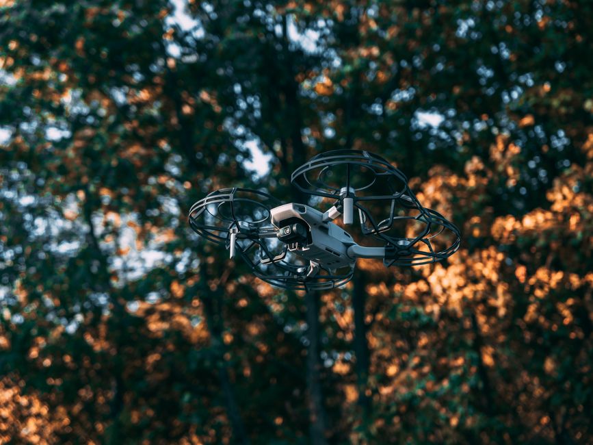
The DJI Matrice 30T is the go-to thermal workhorse for fire departments and utility crews. Its uncooled VOx microbolometer captures 640x512 thermal images at 30Hz, and the visual camera provides 16x optical zoom plus a laser rangefinder. Flight time runs 41 minutes, and the airframe weighs 3,770 grams so you must register it under FAA rules. I’ve used this drone in smoke and rain. The IP55 rating means it keeps flying when cheaper drones short out. That matters when you’re mapping a wildfire perimeter or inspecting a cell tower after a storm. The M30T folds down to the size of a lunchbox, but do not confuse it with a consumer drone. It runs DJI FlightHub 2 for live team feeds and can pair with the RC Plus controller. You’ll pay roughly $10,000 to $14,000 depending on the bundle. Check DJI’s official specs for current pricing, or check the DJI Matrice 30T on Amazon. For departments that need a single drone for multiple tasks, this is the most practical thermal option. Compare it against other models in our best DJI drones compared guide.
Key strengths:
- ✅ 640x512 thermal sensor at 30Hz captures clear heat signatures
- ✅ 41-minute flight time covers large search zones
- ✅ IP55 weather resistance handles rain and dust
- ✅ Folds compactly for rapid deployment from a truck or boat
- ✅ Laser rangefinder aids pinpoint location tasks
- ❌ Expensive for small farming operations
- ❌ Requires DJI FlightHub 2 for full live-mapping features
- ❌ Thermal resolution is not radiometric in all export modes
Who it’s for: Public safety teams and utility inspectors who need a rugged, all-in-one thermal payload.
2. DJI Mavic 3 Thermal , Best compact thermal drone for agriculture and quick inspections
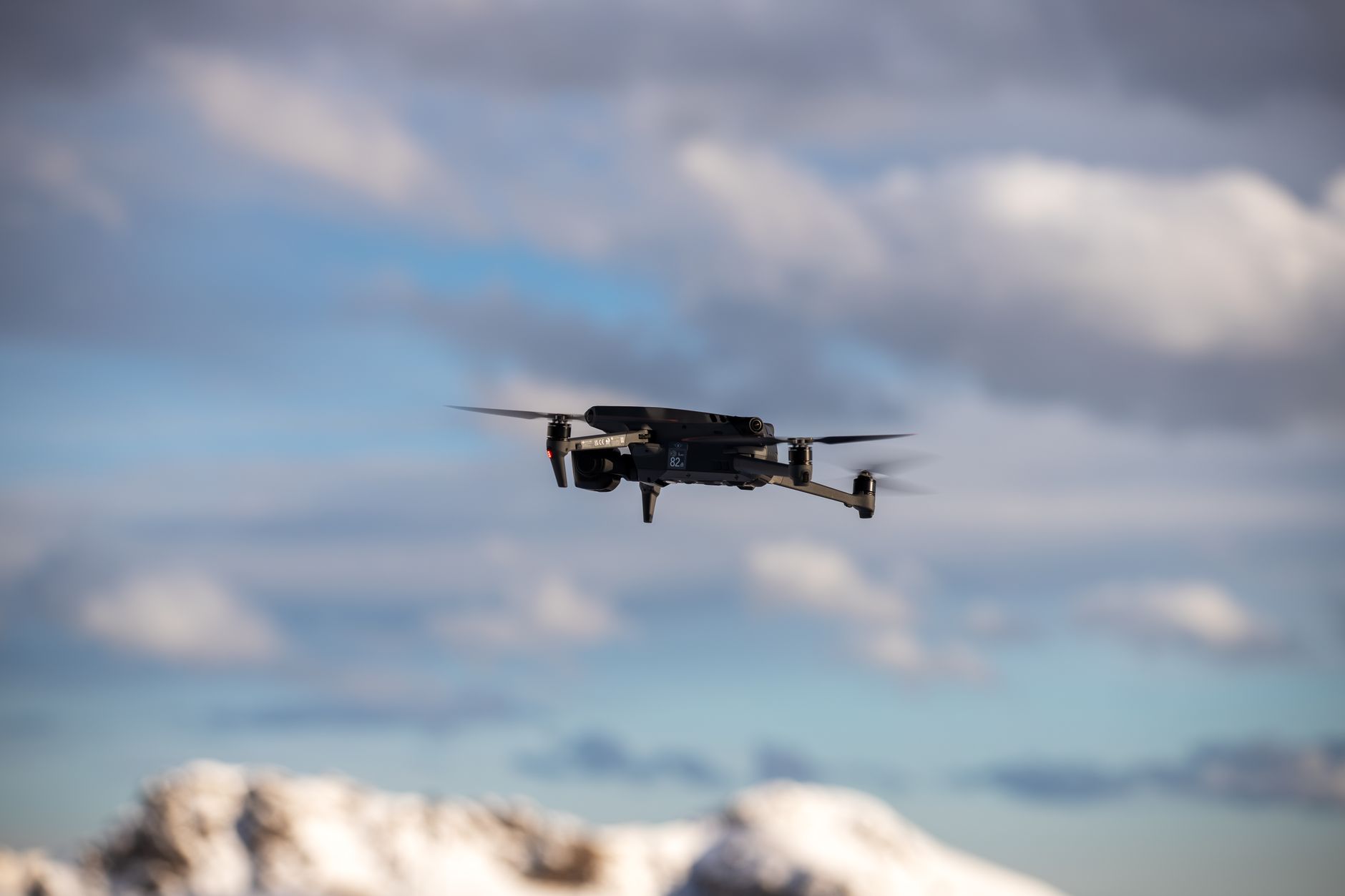
For a drone that weighs just 920 grams, the Mavic 3 Thermal delivers serious heat detection. The 640x512 thermal camera sits beside a 48-megapixel visual sensor with 56x hybrid zoom. You get 45 minutes of flight per battery, which is the longest in this entire list. Farmers like it because you can fly a 200-acre field and check irrigation leaks without swapping batteries. Search teams like it because it fits in a backpack. There is a trade-off. The M3T lacks the IP rating of the Matrice 30T, so avoid heavy rain and dusty landings. It also uses a fixed-aperture thermal lens. That is fine for most crop scouting and roof inspections, but not for precise radiometric work at long distances. The $5,500 price point makes it the most affordable DJI thermal drone that still produces 640x512 heat maps. Check the DJI Mavic 3 Thermal on Amazon. For aerial photo work in daylight, see our best drones for aerial photography guide.
Key strengths:
- ✅ 45-minute flight time is best in class for a compact thermal drone
- ✅ 640x512 thermal camera produces detailed heat maps
- ✅ Lightweight 920-gram airframe is easy to transport
- ✅ 48MP visual camera switches between thermal and visible imaging
- ✅ Half the price of the Matrice 30T
- ❌ No IP rating, so weather limits fieldwork
- ❌ Non-radiometric thermal in some export modes
- ❌ Fixed thermal lens lacks zoom flexibility
Who it’s for: Farmers, roof inspectors, and solo operators who need thermal capability in a sub-1,000-gram drone.
3. Autel EVO Max 4T , Best DJI alternative with no geofencing
Autel positions the EVO Max 4T as a direct rival to the Matrice 30T for about $8,000. It carries a 640x512 thermal sensor, a 50MP visual camera with 10x optical zoom, and an IP43 weather rating. Flight time reaches 42 minutes, and the drone weighs 1,199 grams. The big selling point is Autel’s lack of DJI-style geofencing restrictions. Emergency crews can launch in sensitive areas without going through DJI’s manual authorization process. The trade-off is software polish. Autel’s Autel Enterprise app has come a long way, but mission planning and fleet management still trail DJI FlightHub. The thermal image quality is solid, though radiometric accuracy can drift if you do not calibrate before each flight. For operators who do not want hardware-level flight restrictions, this is the cleanest path. Check the Autel EVO Max 4T on Amazon. See our best DJI alternatives 2026 guide to compare other non-DJI options.
Key strengths:
- ✅ No geofencing or forced manual authorization process
- ✅ 640x512 thermal and 50MP visual with 10x optical zoom
- ✅ 42-minute flight time meets most mission needs
- ✅ IP43 rating handles light rain
- ✅ Priced below the Matrice 30T
- ❌ Enterprise software is not as mature as DJI’s
- ❌ Radiometric accuracy needs manual calibration
- ❌ Accessories and repair centers are less common than DJI’s
Who it’s for: Agencies and companies that want strong thermal performance without DJI flight restrictions.
4. Teledyne FLIR SIRAS , Best for data-sensitive U.S. operations
Teledyne FLIR built the SIRAS for pilots who cannot send mission data to foreign cloud servers. This is a U.S.-made drone with a 640x512 thermal sensor and a 16MP visual camera. Flight time is 31 minutes, and the airframe weighs 1,800 grams. It has an IP54 rating, so light rain is not a problem. The SIRAS does not require a cloud account for basic flights. Pair it with a local SD card workflow and your inspection data stays on your own hardware. The downside is battery endurance. At 31 minutes, the SIRAS lasts 10 to 14 minutes less than comparably priced rivals. The visual camera also tops out at 16MP, which is adequate but not stellar for mapping. However, for utilities, defense contractors, and government agencies that need compliant data handling, the SIRAS is one of the few thermal options that skips mandatory cloud uploads. If you fly in Canada, review drone laws in Canada before importing one.
Key strengths:
- ✅ U.S.-manufactured airframe and sensor stack
- ✅ No forced cloud connection for local data capture
- ✅ IP54 rating protects against dust and rain
- ✅ 640x512 thermal sensor meets professional inspection standards
- ✅ Password-protected data access
- ❌ 31-minute flight time is short for large search areas
- ❌ Visual camera limited to 16MP
- ❌ Higher price for the data security features
Who it’s for: Government, utility, and defense teams that require local data storage and a U.S.-built thermal drone.
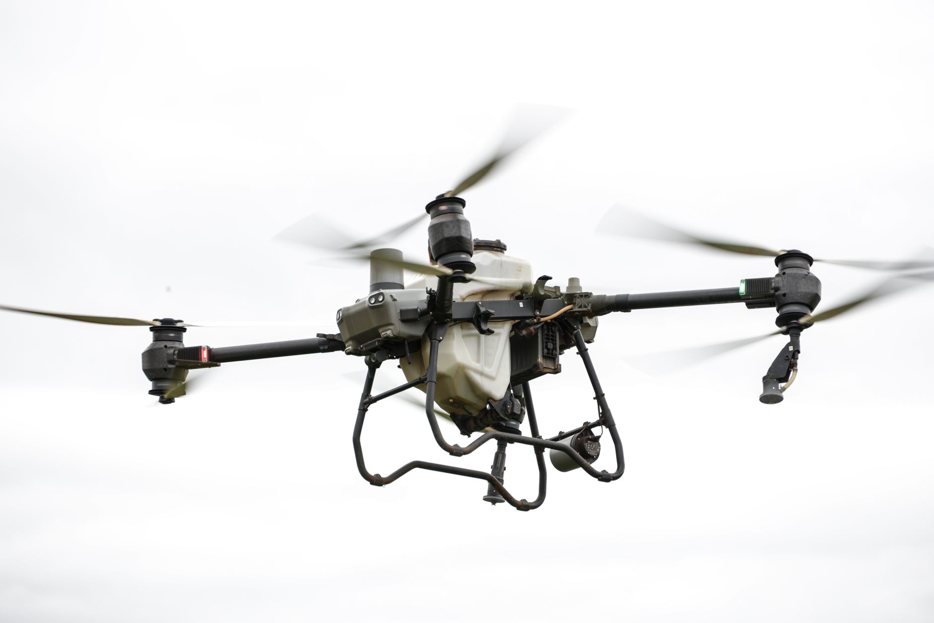
5. DJI Matrice 350 RTK with Zenmuse H30T , Best heavy-lift thermal payload for advanced missions
The Matrice 350 RTK is the heavy lifter in this group. It weighs about 3,770 grams without payload and can carry up to 2.7 kilograms. Pair it with the Zenmuse H30T and you get a thermal sensor with 1280x1024 resolution, a 48MP visual camera, and up to 34x optical zoom. Flight time reaches 55 minutes with a standard payload. That flight time is the main reason search-and-rescue teams choose this platform. You can cover a mountain drainage twice before landing to swap batteries. This is not a backpack drone. The M350 RTK requires a vehicle case and a two-person crew for most deployments. Costs start around $15,000 and climb quickly with extra batteries, chargers, and the H30T payload. The thermal image quality is the best DJI currently ships for commercial use, but the price and size put it out of reach for small businesses. Add spare batteries and a case from our best drone accessories guide to keep it mission-ready.
Key strengths:
- ✅ 55-minute flight time leads the class
- ✅ 1280x1024 thermal resolution captures fine temperature differences
- ✅ 2.7kg payload capacity supports extra sensors
- ✅ 34x optical zoom covers distant inspection targets
- ✅ IP55 rating for harsh weather
- ❌ Very expensive once payload and spares are included
- ❌ Large and heavy, needs vehicle transport
- ❌ Overkill for basic crop scouting or roof checks
Who it’s for: Advanced SAR and industrial teams that need maximum flight time and the highest thermal image detail.
Frequently Asked Questions
Do I need a license to fly a thermal drone?
In the US, commercial thermal drone pilots need an FAA Part 107 certificate. Recreational pilots must pass the TRUST test. Drones over 250 grams must be registered. Canada requires a drone pilot certificate for most operations.
What thermal resolution do I need?
For most inspection and search work, 640x512 is the baseline. Lower resolutions like 256x192 work for basic heat detection but miss small temperature differences. The Matrice 350 RTK with H30T pushes to 1280x1024.
Are thermal drones worth the cost for agriculture?
Yes if you manage large fields. Thermal imagery shows irrigation leaks, pest stress, and crop moisture issues before they are visible. The Mavic 3 Thermal is the most affordable 640x512 option for farms.
Can thermal drones see through walls?
No. Thermal cameras detect surface heat only. They cannot see inside buildings or underground. Insulation issues show as temperature differences on surfaces.
Which thermal drone has the longest flight time?
The DJI Matrice 350 RTK with H30T flies 55 minutes. The compact Mavic 3 Thermal reaches 45 minutes.
Do DJI thermal drones have geofencing?
Yes. DJI drones include geofencing that may restrict flights near airports and sensitive areas. The Autel EVO Max 4T is a strong alternative if you need fewer flight restrictions.
What Should You Remember?
- Thermal resolution: Look for 640x512 or higher for professional heat detection.
- Flight time: 45 minutes on the Mavic 3 Thermal is the compact benchmark.
- Weather sealing: IP55 on the Matrice 30T keeps missions flying in rain.
- Regulation: FAA Part 107 is required for commercial thermal drone work.
- Budget: The Mavic 3 Thermal delivers 640x512 for about $5,500.
- Alternative: The Autel EVO Max 4T avoids DJI geofencing.
- Data security: The FLIR SIRAS keeps inspection data local.
This article is for general information only. Drone regulations vary by region and change frequently — always verify current local laws and airspace rules before flying.